According to a survey by Boston Consulting Group (BCG), 95% of executives surveyed indicated that mapping and geospatial data are crucial for achieving business results, and 91% believe these tools will be even more vital in the next three to five years.
As the use of IoT and connected devices rises, the convergence of spatial data and location intelligence analytics has changed how businesses perceive, interpret, and utilize geographic data.
Globally, industries like BFSI, CPG, and logistics derive business insights for crucial use cases by applying location intelligence.
This article will explore seven location intelligence trends for 2025 that can pave the way for newer applications and outlooks for enterprises across the aforementioned sectors.
1. Data Availability and Real-time Analysis
The rising adoption of IoT devices powered by faster 5G connectivity and bandwidth has paved the way for acquiring real-time data. Data from platforms like social media and mobile GPS helps businesses gather location insights. These insights enable them to offer personalized experiences by analyzing demographics, composition, and other key data components.
Social media posts also carry a critical location component that offers deeper contextual real-time insights for addressing several use cases.Leveraging these insights, organizations can better visualize their operations, strategize new plans, and enhance operations to be productive and profitable.
2. Integration of AI/ML Algorithms
AI/ML has enabled faster processing of vast geospatial datasets, uncovering patterns and trends that traditional methods often miss. Machine learning algorithms enhance location insights by predicting customer behavior, market demand, and resource allocation with precision. At the same time, AI-powered analytics create hyper-personalized customer experiences by linking location data with behavioral insights.
Key Applications
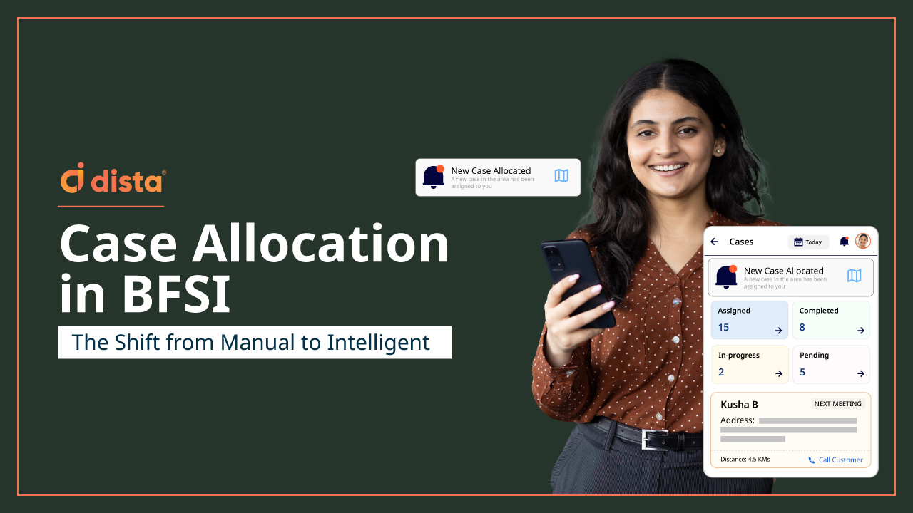
- In the BFSI sector, AI models analyze geospatial data to identify leads, increase customer facetime, optimize field operations, and design dynamic beat sales routes.
- ML-powered analytics enhance branch and ATM location strategies while improving risk assessments by detecting location-based fraud patterns.
- The integration of AI, ML, and location intelligence transforms geospatial analytics from being static to being dynamic, predictive, and actionable, thereby unlocking greater efficiency, accuracy, and profitability.
3. Improve Last-Mile Delivery
Location intelligence helps improve delivery efficiency and accuracy to manage costs better and create a more sustainable delivery process. It helps optimize delivery routes, improves the scheduling of deliveries, and reduces the distance traveled.
Industries that fulfill last-mile and instant deliveries also require verified addresses to reduce the rate of unsuccessful deliveries. A smart address verification system like geocoding removes inconsistencies and eliminates manual redundancies to provide accurate location information.
By leveraging location intelligence platforms, companies have recorded a remarkable increase in First Attempt Delivery Rate (FADR). Delivery agents can get useful insights into routes and real-time traffic conditions for faster deliveries. Further, active location tracking and order analysis allow businesses to provide customers with updated delivery ETAs and live order status updates, enhancing their overall experience.
4. Fleet Management for EVs
Rising pollution levels and their cumulative environmental impact have prompted organizations to consciously shift towards employing the use of electric vehicles (EVs) for deliveries. However, the shift can be tricky due to the limited driving range of EVs and fewer charging stations to supplement vehicle requirements on the planned deliveries.
Managing a fleet of EVs is simplified using location intelligence. These vehicles have a limited driving range and need charging stations along the planned route to recharge the battery packs. Businesses can use location intelligence to map charging stations and strategically schedule delivery routes.
Using location intelligence data, companies that provide EV charging services can track, analyze, and map the number of EVs frequenting a busy route. It helps answer questions like how many EVs actively run this route so these companies can identify and place new charging stations. All this is possible with location intelligence insights derived from aggregated data points.
Similarly, organizations that manufacture and sell battery packs for EVs can utilize location intelligence to track these deliveries. Analyzing the collective data helps these organizations plot and map areas with a surge in demand for EV battery packs. This information allows them to place new stations where delivery riders can swap out old packs with newly charged ones.
5. Enhanced Customer Experience
According to a report by Boston Consulting Group, 63% of leaders in the financial sector reported using Geomarketing, i.e., employing spatial data to send marketing nudges, as a key component of their marketing strategy. Rich customer experience and tailored brand messaging are essential for businesses to enhance and expand their existing consumer base.
Restaurants and retail outlets can leverage location analytics data to plan targeted marketing by understanding the consumer’s buying journey. Businesses can send updated product or service offers, provide updates for customer loyalty points, and push notifications for pop-up sale events when customers are around the shop or outlet. The main aim is to increase footfall and improve customer engagement.
Banks and financial institutions can leverage location data to offer customers personalized banking services like credit card and loan offers. Comprehensive and contextual location data can help retailers provide consumers with a more immersive and tailored shopping experience.
6. Indoor Mapping
Location intelligence is vital in indoor mapping, providing precise spatial insights and enabling real-time navigation.
Indoor mapping enhances user experiences, optimizes operations, and improves resource management by integrating with key data components from AI and IoT.
From guiding customers in retail stores and travelers in airports to optimizing workflows in warehouses and healthcare facilities, location intelligence ensures efficient movement, asset tracking, and space utilization, enabling industries to create more innovative and accessible indoor environments.
7. Privacy-first Location Intelligence
Transparency will be key to building customer trust in 2025. As stricter regulations like GDPR, CCPA, and India’s PDP Act are enforced, enterprises will be expected to prioritize privacy-first practices in location intelligence. This means adopting secure and anonymized data collection frameworks that ensure customer data is safe.
Location data should be processed with advanced encryption techniques and tools designed to comply with global and regional privacy regulations. By embedding privacy at the core of location intelligence systems, organizations can avoid regulatory penalties and foster a strong culture of data protection.
Enterprises that openly demonstrate their commitment to privacy, such as offering consent-based data usage options or detailed privacy policies, will gain a competitive edge by positioning themselves as trusted partners in a privacy-conscious era.
Final Thoughts
As businesses across BFSI, MFI, logistics, and retail sectors keep pace with the changing technologies, location intelligence stands out as a cornerstone for innovation and growth in 2025.
From enabling real-time data analysis and personalized customer experiences to optimizing operations like last-mile delivery and fleet management for EVs, the potential of location intelligence is boundless.
Want to explore how location intelligence can provide a strategic advantage for your business? Click here.


