Geographic Information System (GIS) presents data in the form of maps, providing a framework to gather, manage, and analyze real-world scenarios of our everyday lives. Scientists, businesses, and governments leverage GIS systems to understand and solve new, urgent, and complex challenges.
GIS mapping software converts spatial data into contextual insights. Businesses can visualize and analyze these insights to strengthen their decision-making. Let’s dive deep and learn the importance of GIS and how you can select the right GIS mapping software to gain strategic advantage.
Also Read: Top GIS Trends for 2024
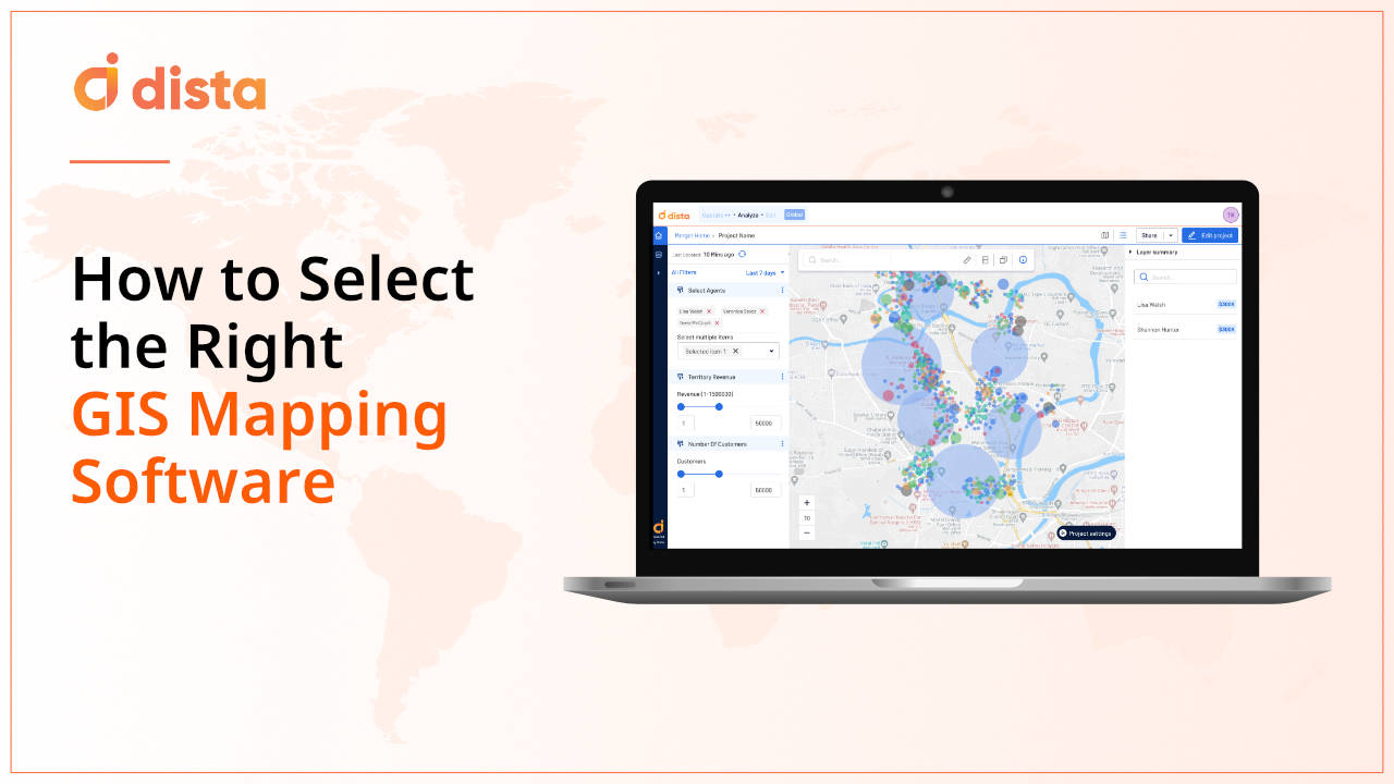
What is GIS Mapping Software?
GIS mapping software is a powerful tool that allows users to capture, visualize, and analyze geographic information. It combines spatial and customer data and showcases it on a map to derive insights, patterns, and trends, empowering them to make informed decisions.
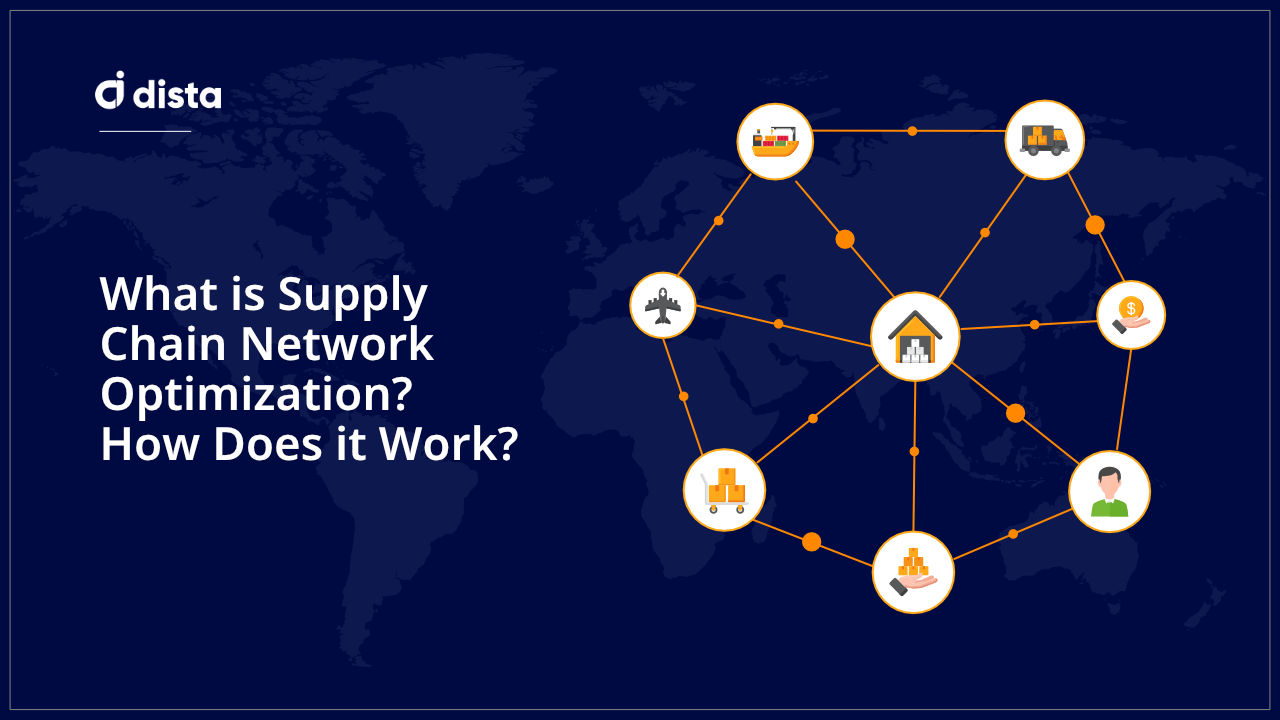
GIS mapping software has a range of benefits, from optimizing resources to reducing operational costs. Dista Insight, our robust GIS mapping tool, helped a renowned e-commerce firm transform its supply chain network design to reduce costs.
3 Things to Consider While Selecting GIS Mapping Software
Before selecting software, enterprises consider key factors like business objectives, scalability, integration, etc. However, they should further dive deep and consider the following fundamentals to strengthen their GIS mapping software screening process.
We recommend enterprises consider three key fundamentals before selecting GIS mapping software.
1. Visualize
A tool that can transform complex data into visual, easily understandable maps is essential for businesses to carve winning strategies. Here are some of the top visualization features to look out for in GIS mapping software.
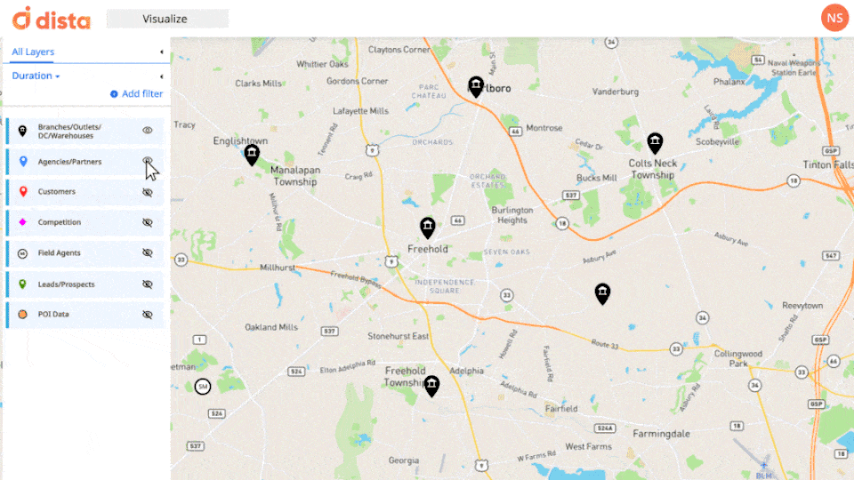
- Map-based Visualization
An intuitive map-based visualization of geospatial data with multiple business rules helps organizations improve their strategic decisions. A comprehensive GIS mapping software showcases business data like stores, outlets, and branches on a map using point data, heatmaps, and polygon.
- Multiple Data Layering
The tool adds several data layers on a map from multiple sources to represent geospatial data. Businesses can derive drill-down and contextual analysis from individual or multiple data layers for a comprehensive spatial data analysis.
- Styling and filters
A feature-rich GIS mapping software can also enable business leaders to view the geo data by styling it with point or line density, color codes, filters, etc., for intuitive data analysis.
2. Strategize
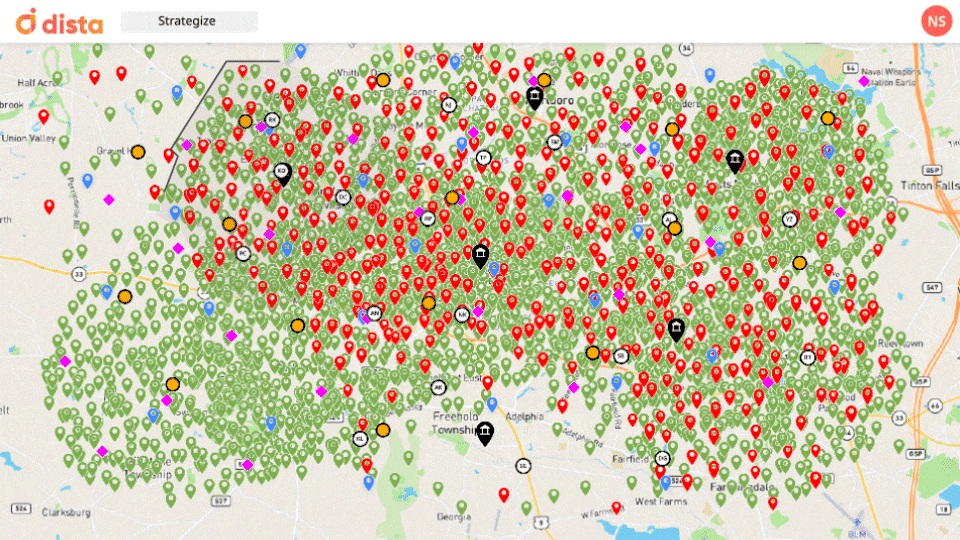
- Territory Management
Businesses can make the most of their sales territories by leveraging spatial analysis software to map agents, balance workload, optimize resources, and more. It helps identify gaps in sales and customer coverage to find new market opportunities and gain a competitive advantage.
- Analyze Clusters
Creating territory clusters based on multiple parameters like customer density, demographics, PoI data, competition, etc., helps organizations unlock and analyze trends and behavior patterns. A GIS tool offers intelligent insights by facilitating a comprehensive clustering analysis.
- Site selection
A GIS mapping platform analyzes customer behavior and foot traffic to empower organizations to determine the ideal location to open their next warehouse, outlet, store, etc.; this strengthens the site selection strategy and helps with faster business expansion.
3. Operationalize
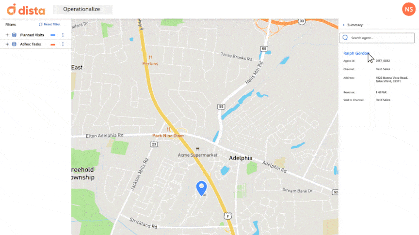
- Scheduling and Routing
By leveraging location intelligence, organizations can automate scheduling and routing workflows to streamline the orchestration of their field sales teams. It enhances field efficiency with shorter travel time and avoids overlapping sales visits.
- Intelligent Beat Plan
Organizations can orchestrate their field sales teams with location-intelligent sales beat plans. It optimizes sales visits, prioritizes critical leads, and avoids territory overlap. This helps sales reps reduce their travel and improve customer face time.
- Marketing and Promotions
Businesses can personalize marketing and promotion initiatives with GIS. They can leverage geospatial analytics to analyze buying behavior and customer preferences. This helps run marketing campaigns using location data.
Top GIS Mapping Software
1. ArcGIS
ArcGIS is a comprehensive GIS mapping software specializing in spatial analytics, mapping, and data management. It offers powerful geospatial solutions that help companies view their business data for better strategic planning.
2. QGIS
QGIS is an open-source GIS mapping software that enables users to create, edit, and analyze spatial data. It offers small businesses and organizations with cost-effective mapping solutions.
3. Dista Insight
Dista Insight is an AI-powered GIS mapping software with location intelligence at its core. It analyzes spatial data to help businesses with intelligent insight necessary for business expansion and streamlining field operations.
Harness the Power of GIS and Location Intelligence
GIS mapping software empowers businesses with spatial intelligence, enabling them to make data-driven decisions, optimize resources, and gain a competitive advantage.
Select a comprehensive GIS mapping system that aligns with your business goals and empowers organizations to visualize, strategize, and operationalize spatial data to drive innovation.
Get in touch with us to learn how Dista can make the most of your geospatial data. Contact us for a free demo.