Site Selection
Site Selection with Location Intelligence
Use a location-first approach to reimagine your site selection strategy

Improve Site Selection with Location Intelligence
Design a robust site selection strategy to unlock new markets, mitigate geographical risk and expand sales coverage.
Site Selection with Geospatial Analytics
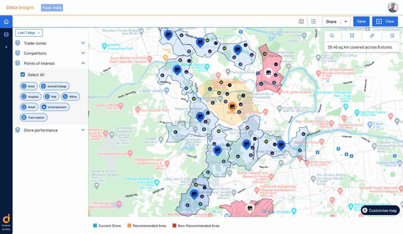
Empower site selection with location intelligence to get meaningful insights. Leverage point of interest (PoI) data and spatial analytics to uncover growth opportunities and make informed decisions.
Uncover the Next Big Opportunity
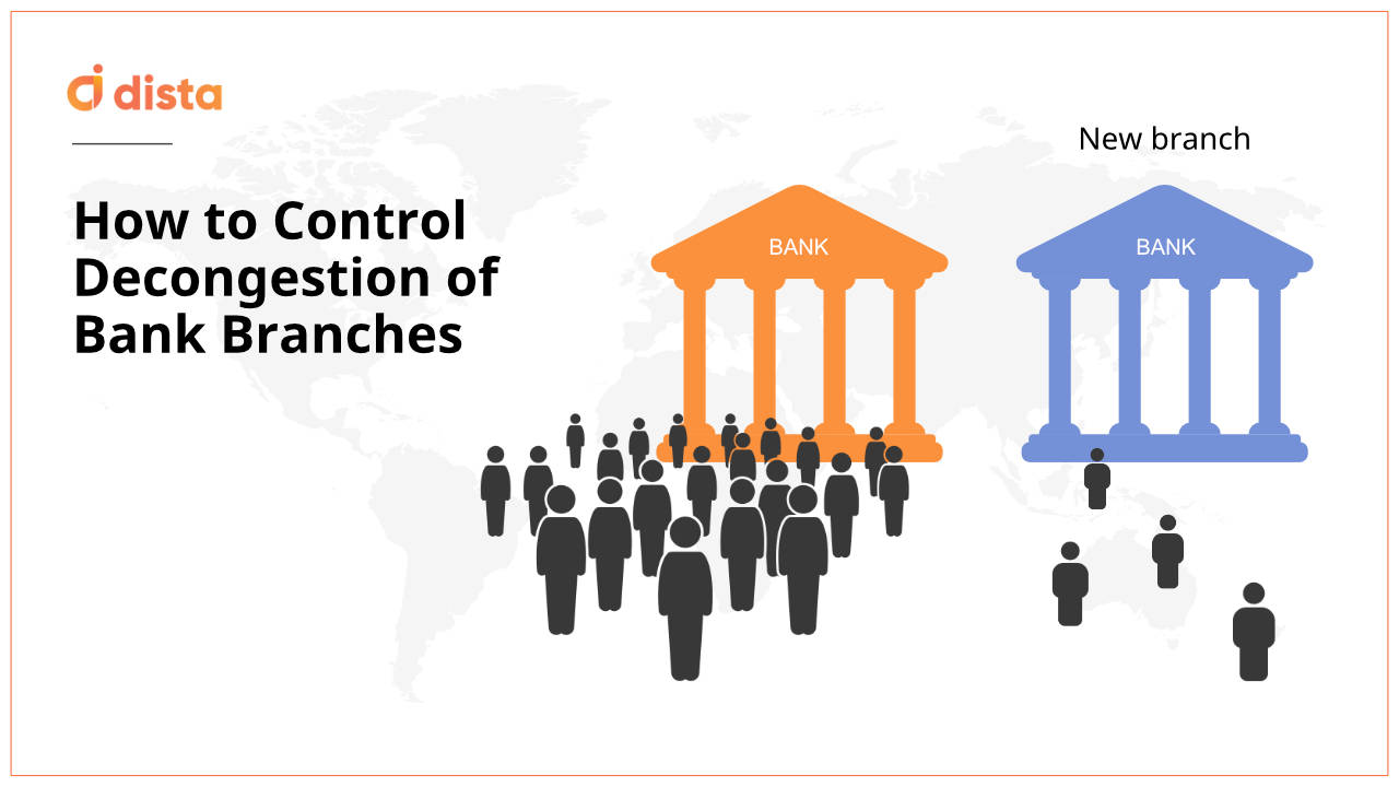
Whether you are a bank or a retailer looking to open a new outlet, geospatial insights enable data-driven decisions to find new sites using spatial data, existing outlet locations, customer demand, and more.
Outperform Competition
Visualize competition and your business on an intuitive map to identify whitespaces. Leverage lead density, demand patterns, and customer presence to find the optimal location before the competition.
Align Territory Planning
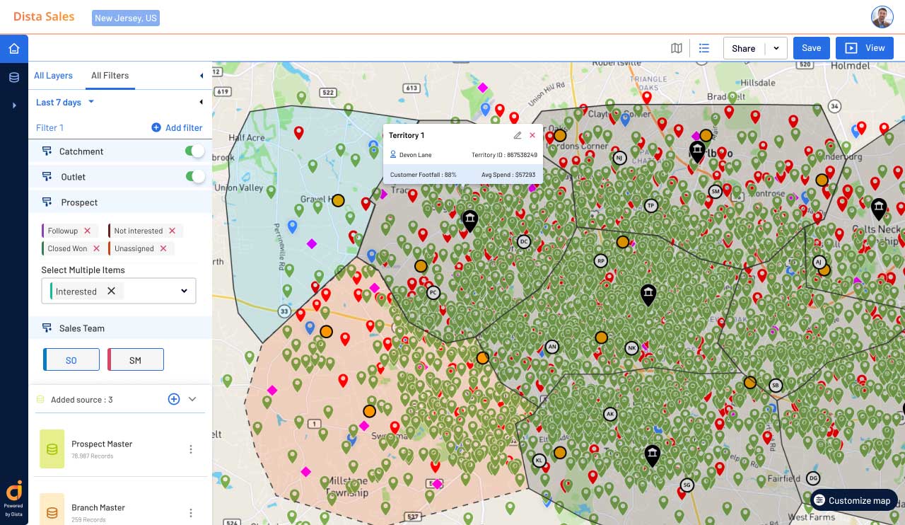
Align territory planning with robust site analysis to design balanced territories. Use spatial insights from consumer profiling, trade zone analysis, market demand, drive time, etc, to run simulations and find the best location for expansion.
Optimize Supply Chain Network Design
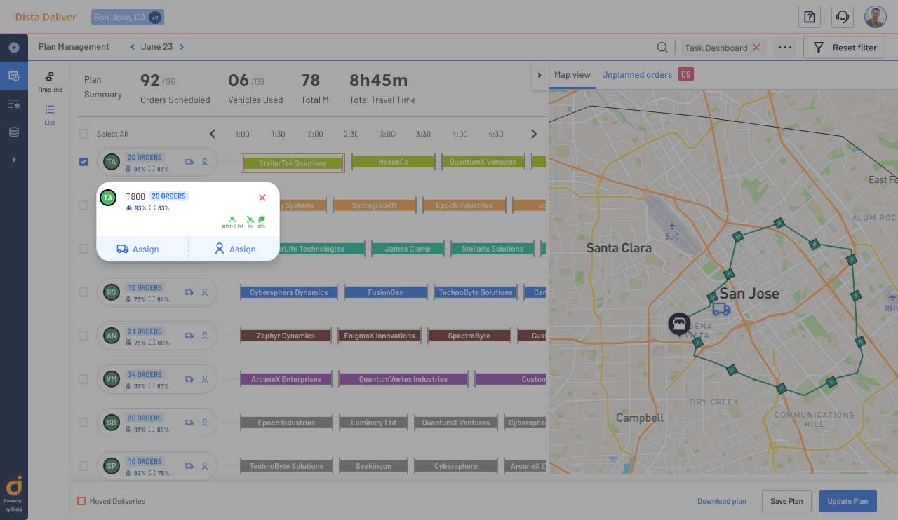
Leverage geospatial analysis to find sites for new distribution centers (DCs), warehouses, fulfillment centers, etc. Apply spatial analysis on business data to identify distributors for each location. Run simulations to find the best distribution model by area demand, market penetration, and more.
Monitor and Predict Site Performance
Monitor and analyze existing and new site performance to gain actionable insights. Apply geospatial analytics to business data to derive contextual relationships. Use PoI data to forecast sales, product demand, and improve site performance.
FAQs
Browse our FAQs section to know more about our site selection tool and how it can contribute to your success.
Still have questions ?
Dista’s location intelligence platform combines PoI (Points of Interest) data with existing business data, including consumer demand, lead density, order volume, and others, to find optimal sites for setting up new outlets, warehouses, factories, etc. By strategically leveraging various geospatial data points, you can make informed decisions, unlock new markets, and expand sales coverage.
Whether it’s finding new sites for opening new bank branches or retail stores, you can use geospatial intelligence, existing outlet locations, customer demand, and PoI data to identify the next growth opportunity.
Dista’s location intelligence empowers you by visualizing business coverage and competition on an intuitive map. By leveraging lead density, demand patterns, sales trends, customer presence, and more, organizations can strategically position themselves for success.
Dista’s location intelligence platform draws contextual relationships between various points of interest and overlays spatial insights on existing business data points. To find optimal sites, it runs multiple simulations using different data points, including sales trends, lead density, customer presence across geography, and more. The data is aligned with Dista’s clustering algorithm to design balanced and equitable territories.
Dista leverages geospatial analysis to identify sites for new distribution centers, warehouses, and fulfillment centers. As a result, supply chain leaders can design responsive supply chain networks by running multiple simulations using the results of site selection analysis. Organizations can determine the best supply chain network model.


