[Case Study] An NBFC Major Verifies Addresses and Pin Codes for Delinquent Customers With Dista
Leverage Dista’s address geocoding solution to enable deliveries, service requests actioning, or simply maintaining data in your CRM.
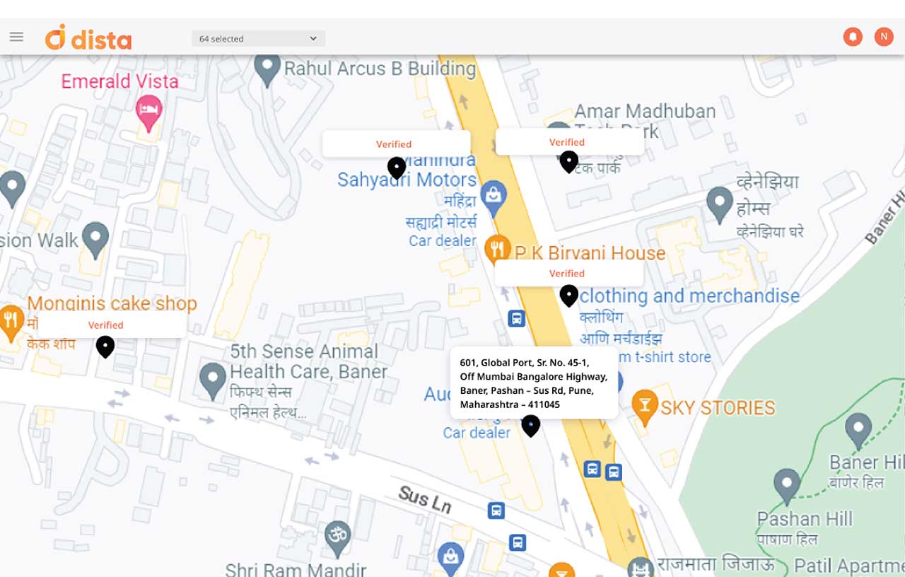
Remove inconsistent addresses, unwanted geographical data points, and incorrect spellings to improve data accuracy.
Convert geo-coordinates(lat/long) into readable addresses. Classify zipcodes with accuracy by street name, town, city, district, state and country.
Leverage AI to convert text addresses to spatial database. Improve productivity by saving hours looking through text addresses.
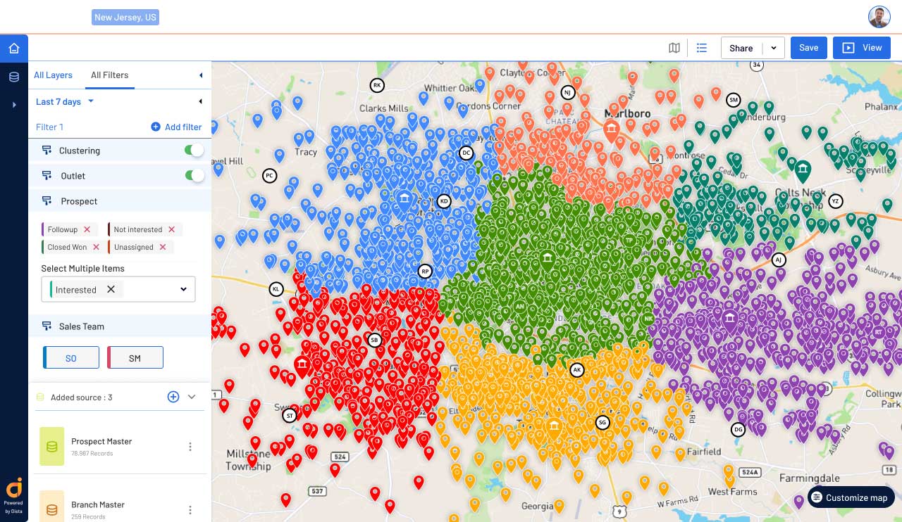
Take the output of multiple mapping providers to calculate the final confidence level and decide on valid/invalid/ambiguous addresses. These scores form a critical base for intelligence.
Dista's 'Confidence Score' determines accuracy level of the cleansed address data and structures it accordingly. Categorize addresses based on location or other business needs.
Browse our FAQs section to know more about our address geocoding system and how it can contribute to your success.
Address geocoding improves location accuracy by converting textual addresses into geographic coordinates. It removes inconsistent addresses, unwanted geographical data points, and incorrect spellings, enhancing data accuracy and ensuring reliable information for operational use.
Reverse geocoding converts geo-coordinates (latitude/longitude) into readable addresses, enabling you to classify zip codes accurately by street name, town, city, district, state, and country.
Dista’s AI/ML-powered platform automates the conversion of text addresses into a spatial database, saving time and avoiding manual processing of address data. This boosts productivity and saves time in scheduling and route optimization for field sales teams, resulting in higher lead conversions. Furthermore, it seamlessly enhances last-mile delivery efficiency with precise delivery schedules and routes.
Dista’s geocoding software combines the output of multiple mapping providers to calculate a confidence level for addresses, helping businesses decide on the validity of addresses for operational purposes. This data forms a critical basis for making informed strategic decisions.
Dista’s ‘Confidence Score’ categorizes cleansed address data based on accuracy levels, providing businesses with structured and reliable information. This categorization helps meet operational needs and ensure data integrity for various business operations.
Design a Location-first Strategy to Grow at Scale.